


GIS technology, mapping classes added for next year
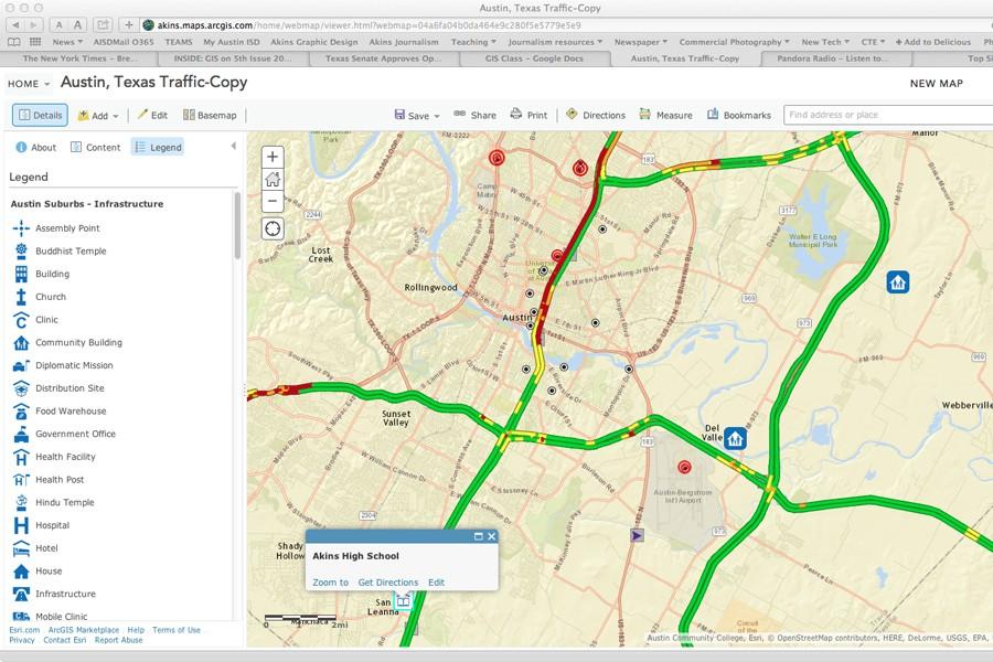
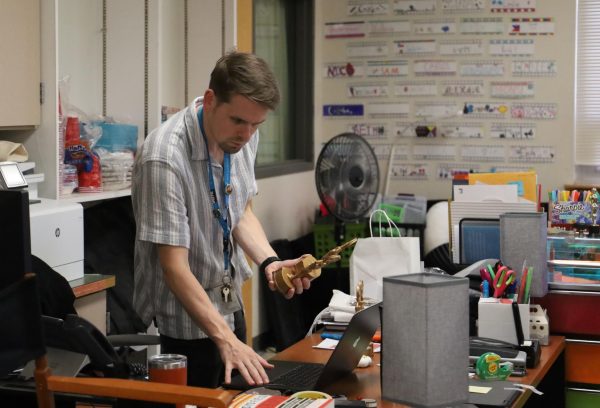
Students practice their geographic information systems work about Austin traffic using ESRI software.
April 27, 2015
With the new school year fast approaching, a new class will also be offered to those who are interested in applying mapping and technology to better understand how the world works.
Social studies teacher Maribel Ramos, traveled to California last summer to take a training class for Geographic Information Systems (GIS). She is working to offer an elective social studies class at Akins next year that will expose students to GIS and allow them to apply it to solve real
“GIS is software or an application that you can install into your phone, computer or tablet,” Ramos said. “You can create digital maps with statistical data and once the map is created, you can see information before you very easily all at once and it’s a lot more accurate.”
Ramos said GIS is not widely understood by the general public, but is used by all kinds of professionals to solve geographic problems, ranging from finding the best locations of new stores to tracking the spread of diseases such as Ebola.
Sharon Kay Fayad, social studies department chair, said that GIS is a hot career and rapidly growing career field. She said she is excited to see Akins offering students an introduction to GIS.
Two new social studies elective classes will incorporate GIS next year: AP Human Geography will be an option for the fall semester and Social Studies Research Methods will be an option during the second spring semester.
“The class will have a lot of independent work that (the students) will need to do on their own like they would in college,” Ramos said. “They need to come prepared in order to discuss with me and apply what they learned in the article or chapter that I (would have) assigned in the last class.”
The AP Human Geography class is a college level course that introduces students to analyzing the patterns and process that has shaped the way humans think and will also use landscape and spatial analysis to be able to look at organizations and their consequences to the environment.
Social Studies Research Methods will teach students to study selected problems such as dropout rates, smoking rates in teenagers and environmental pollution using scientific inquiry methods, critical thinking, and problem solving skills.
Professionals that work with GIS typically work with data analysis, computer modeling, programming, project management, cartographic design, and database administration. In the United States, on average, an entry-level analyst can earn up to $41,108 a year and as a GIS supervisor position allows them to earn up to $89,475 depending on location and the professional’s experience.